Help topics
- Purpose of the site
- Compass features
- Compass menu
- Compass or GPS - advantages and disadvantages
- Compass Test
- Draw a single or multi-legged route
- Extending the compass direction of travel arrow
- False readings when using a compass
- Fine Tuning the OpenStreetMap Compass
- Getting started with OpenStreetMap Compass
- GPS or Compass - pros and cons for navigation
- Grid references test
- How to use a compass
- Import OpenStreetMap routes
- Key
- Latitude and longitude positions: degrees, minutes and seconds
- Magnetic declination or variation
- Magnetic declination or variation adjustment
- Magnetic declination or variation calculation
- Map projections
- Map reading
- Map reading skills test
- Menu
- Moving the OpenStreetMap Compass
- My OpenStreetMap Compass Map Routes
- Negative magnetic declination or variation
- New Features
- North: different types
- North on OpenStreetMap
- Ordnance Survey maps integration
- OpenStreetMap Key
- Panning and Zooming with OpenStreetMap
- Positive magnetic declination or variation
- Print Map Function
- Projection of OpenStreetMap
- Route drawing
- Route Information Display
- Safety
- Save and Store OpenStreetMap Compass Map Routes
- Single leg or multi-legged routes?
- Test your compass reading skills
- Tips
- Types of bearings
- Updates
- User Guide
- Watch as Compass
- What is a compass?
- What type of compass is used on the site?
- Zooming with OpenStreetMap
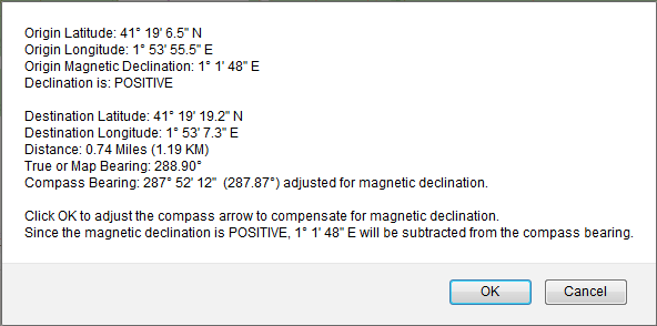
OpenStreetMap Compass Route Information Display

Clicking on the 'Draw Route' button at the upper right of the map will display a wide range of route information including coordinates, map and compass bearings, magnetic variation or declination and distance:

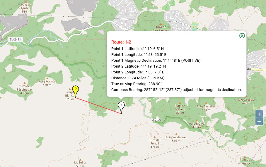
Clicking on the Route Markers will display route leg information:
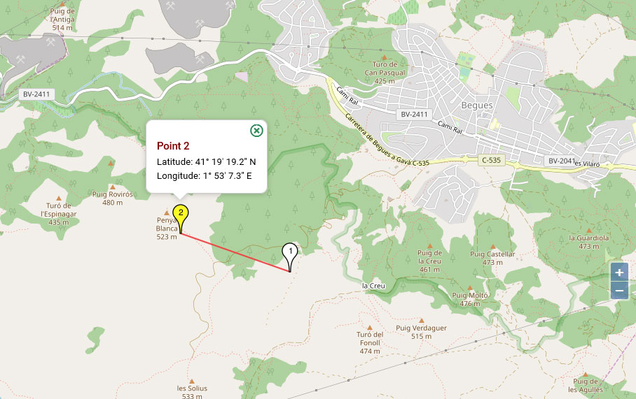
The latitude and longitude are provided for the last route marker:
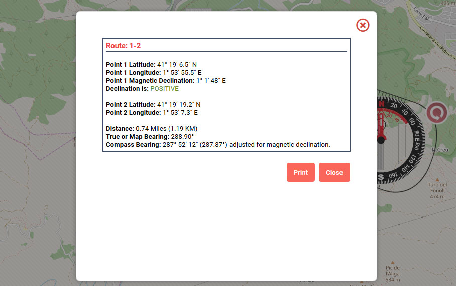
The View/Print Route(s) Information function in the menu provides a route summary:
Tip
Click the 'Hide Compass' button before clicking on the route markers.

OpenStreetMap Compass route information
Clicking on the Route Markers will display route leg information:

Route Marker information
The latitude and longitude are provided for the last route marker:

Coordinates for the last route marker
The View/Print Route(s) Information function in the menu provides a route summary:

View/Print Route(s) Information summary
Tip
Click the 'Hide Compass' button before clicking on the route markers.
Copyright © 2019 - 2026 All Rights Reserved
Barcelona Field Studies Centre S.L.